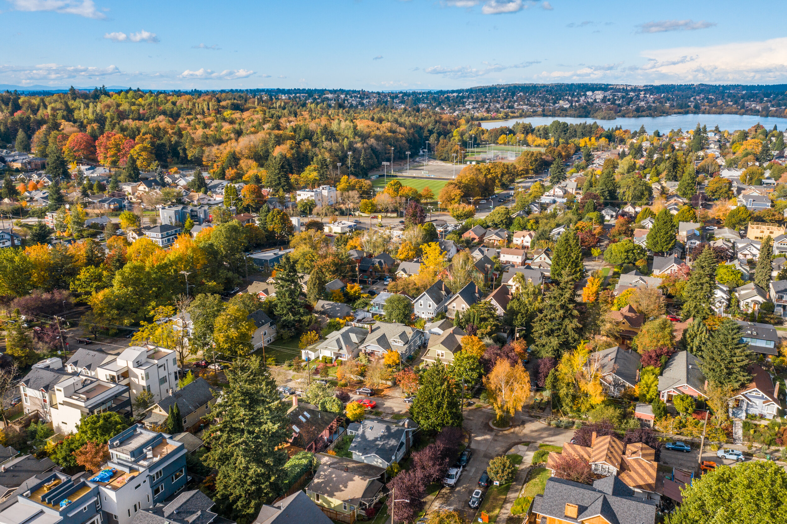
Aerial drone photography is a wonderful tool for architecture imaging and marketing real estate. As you make decisions about your branding needs, consider the different views in the examples below. PorchLight offers both still image and video options. See pricing page for more info.

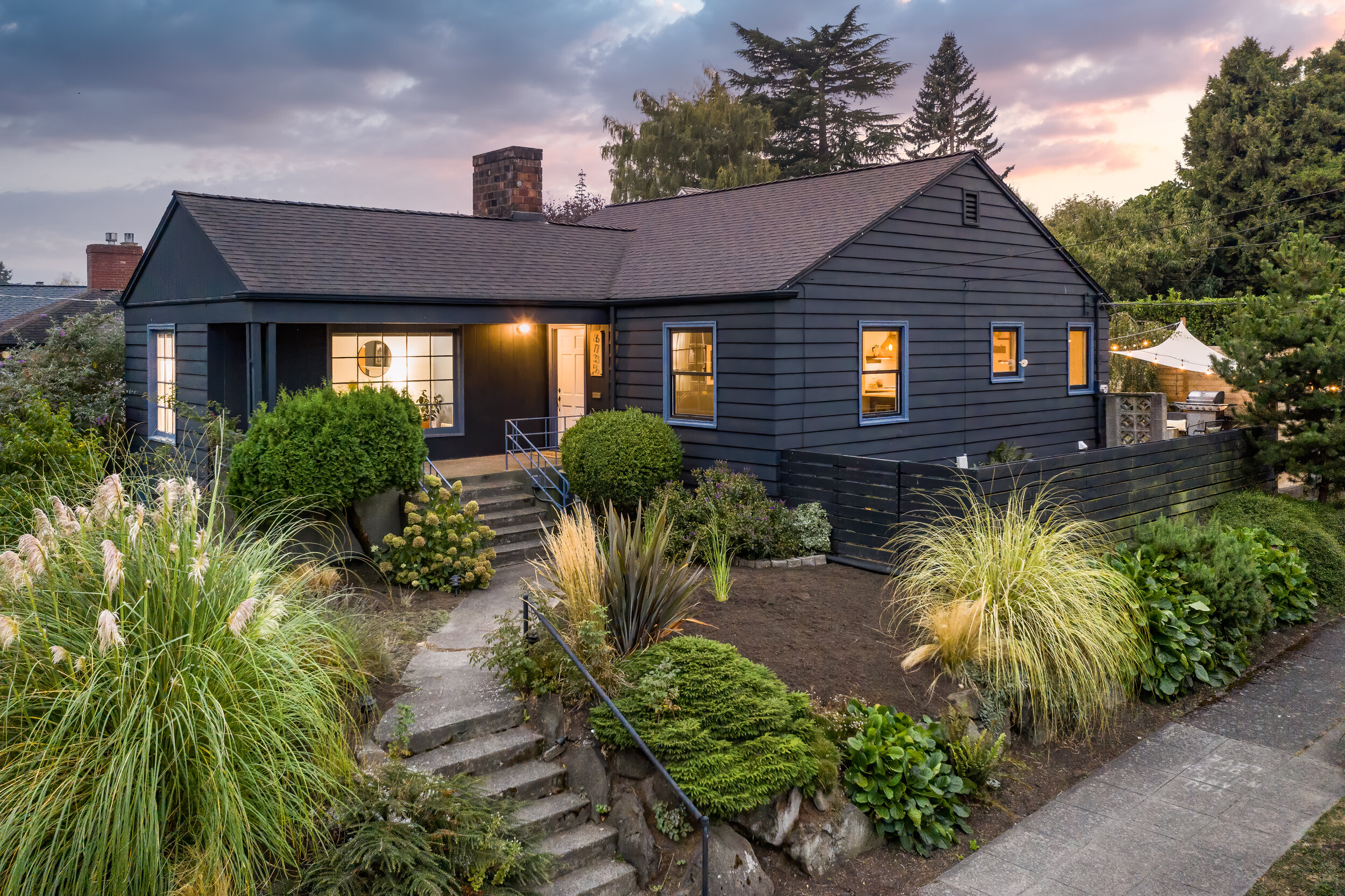
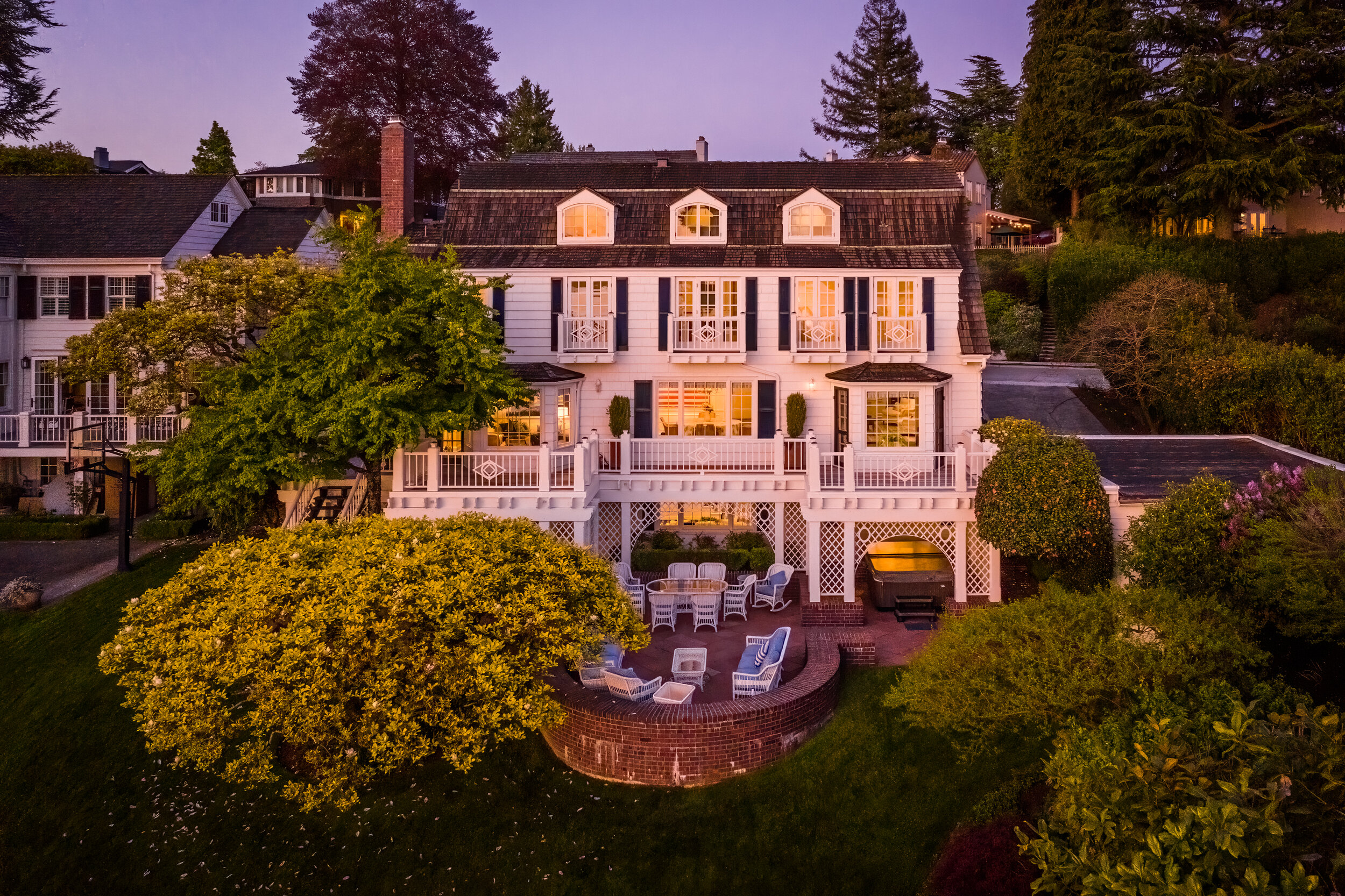
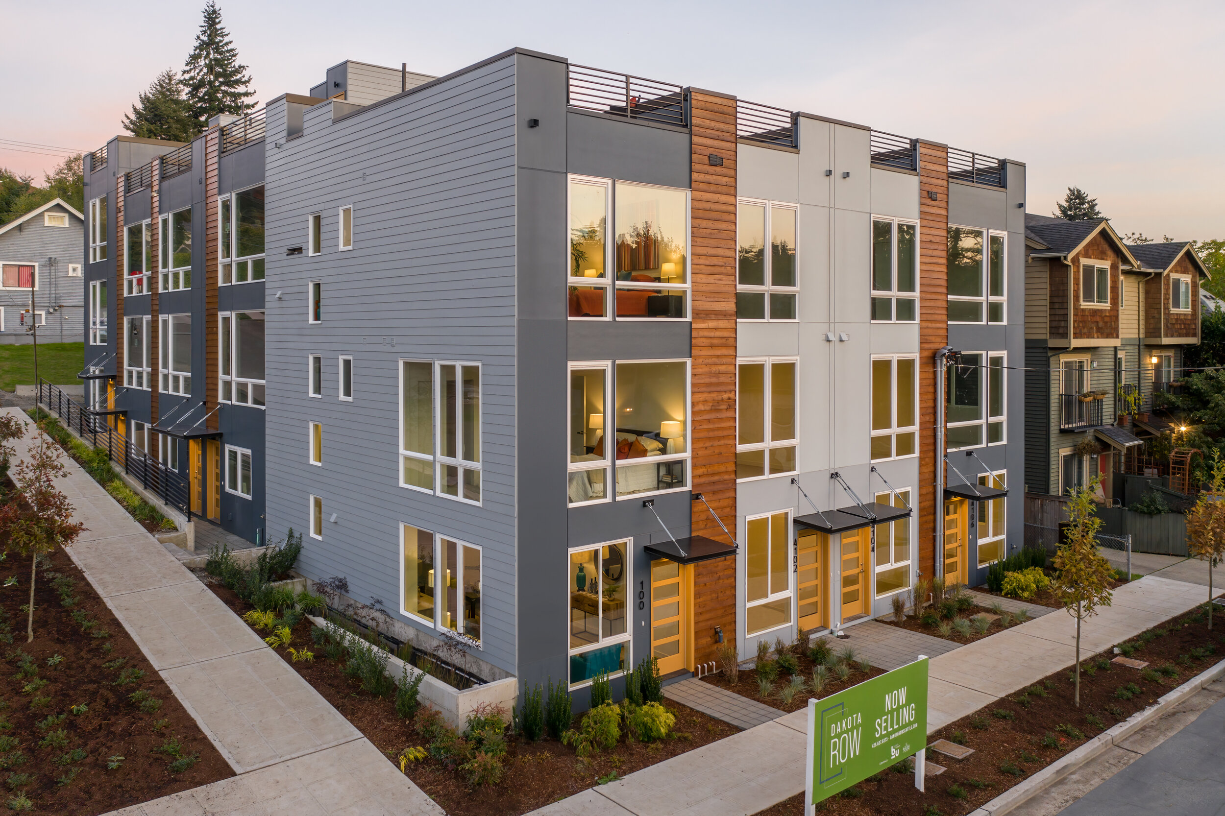
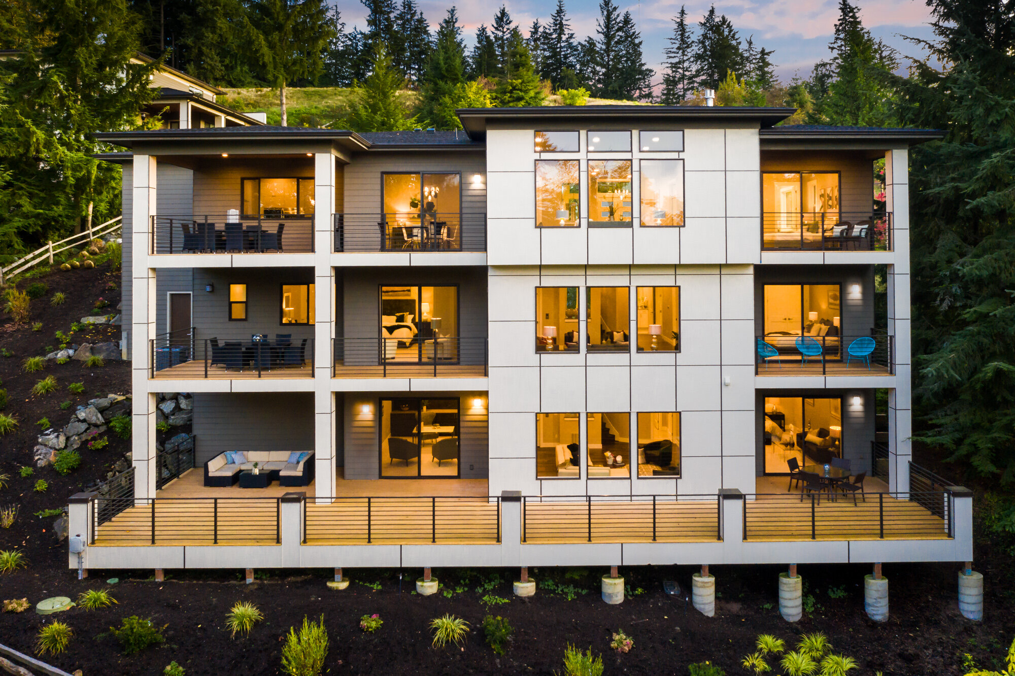
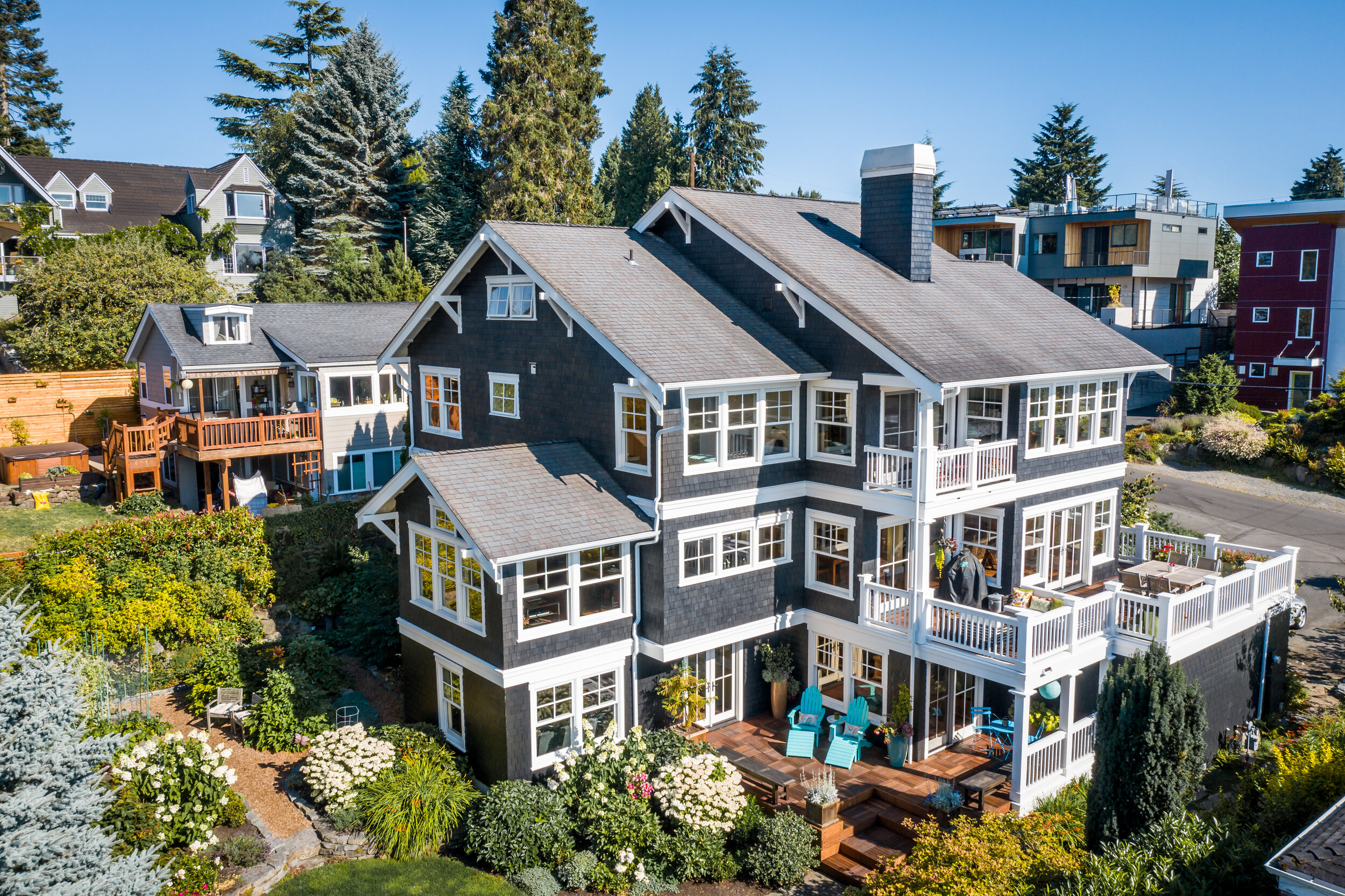
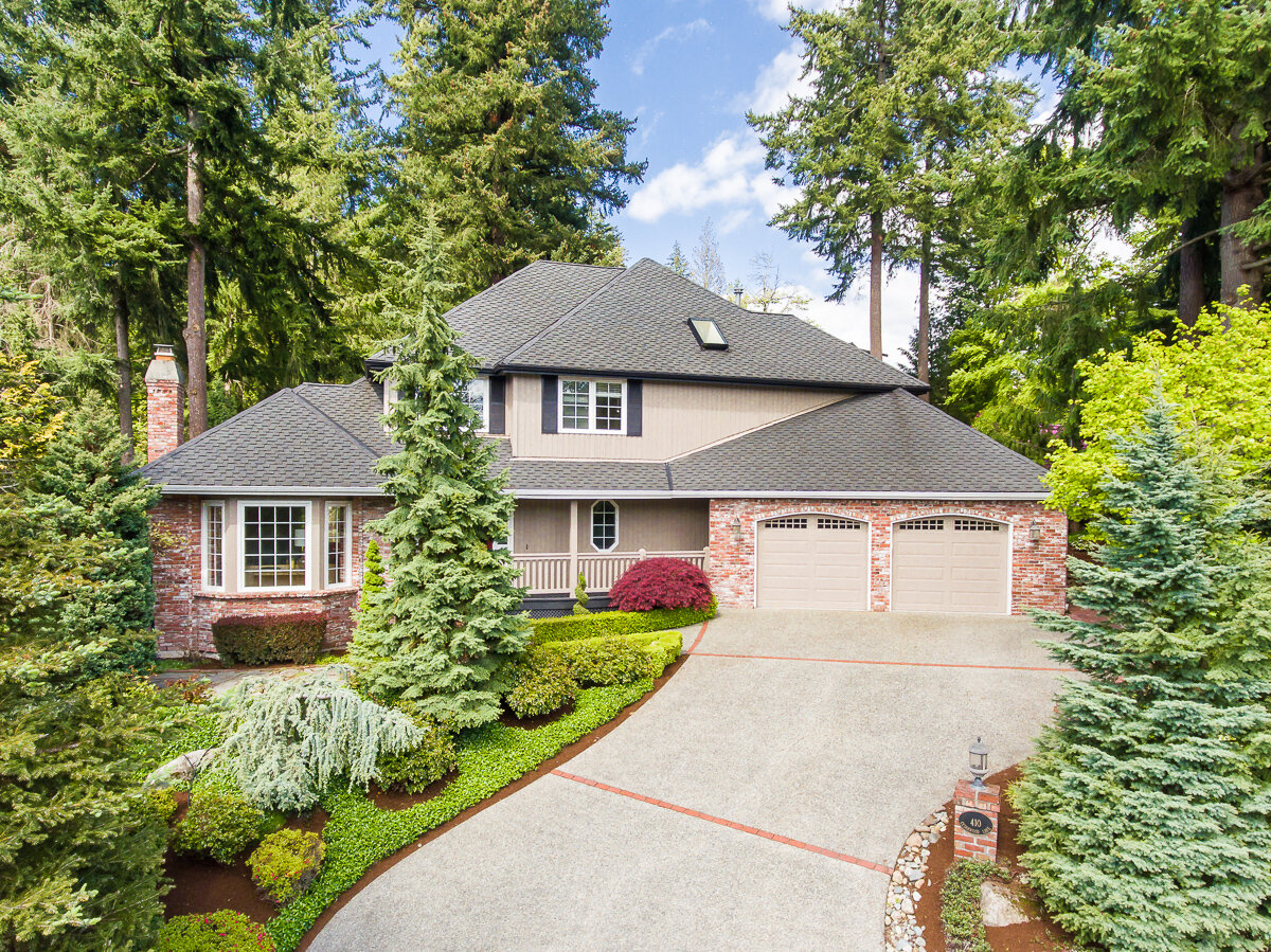
elevated exterior view
Drones aren't just for high elevation hero shots - great exterior listing photos get a boost from a little altitude. Homes that sit up high from the street, have mature plantings in front or those that are especially large are all great candidates for this type of photo and give prospective buyers a unique angle to swoon over. Plus it will really stand out as the main photo in an MLS listing!

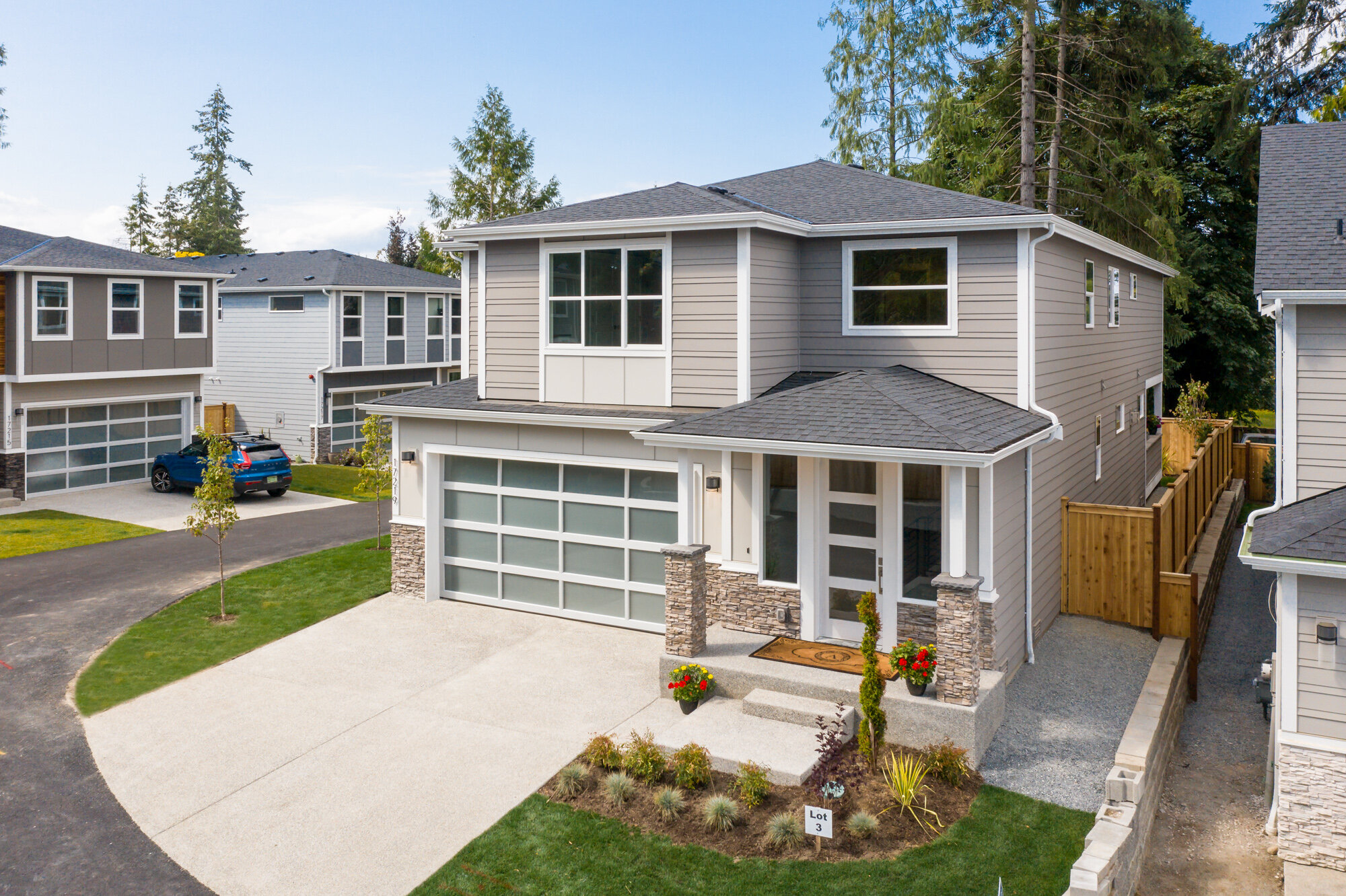
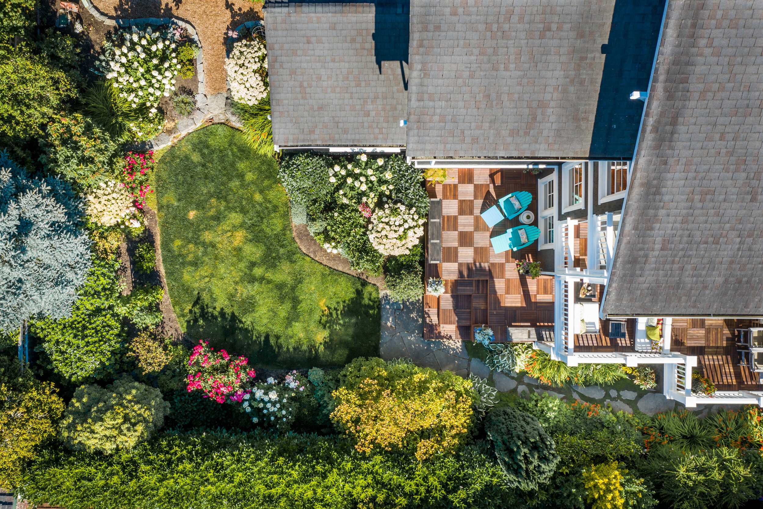
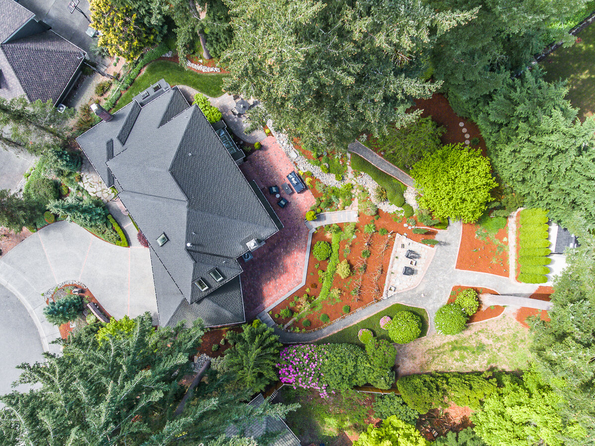
birds eye view
Looking straight down from above is a fun, flattering view and a unique way to present a property. Features like a new roof, an outdoor patio/deck, a pool, and especially beautiful landscaping really stand out in these images. This view is also helpful in illustrating property boundaries and the general shape of the lot.

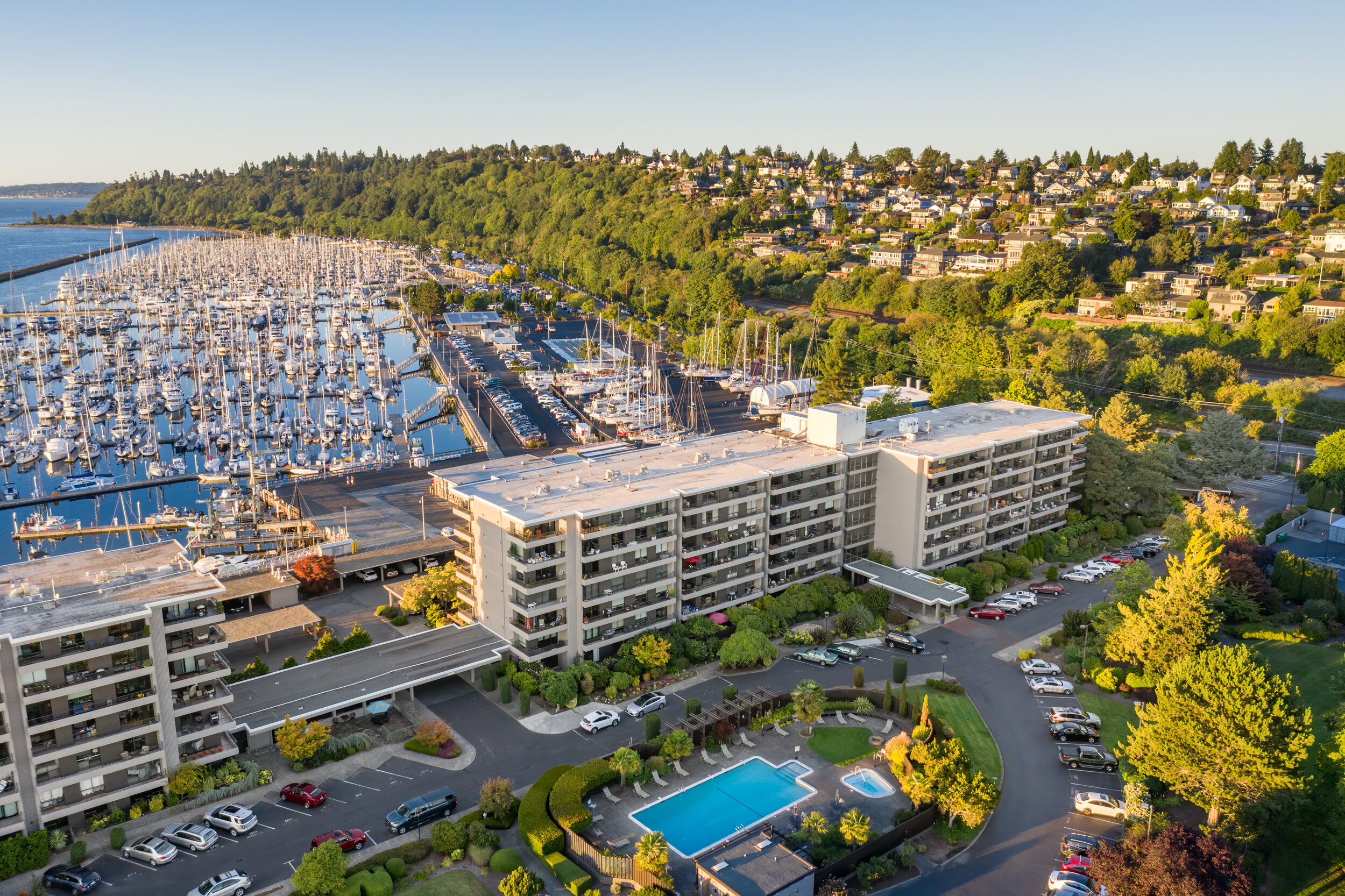
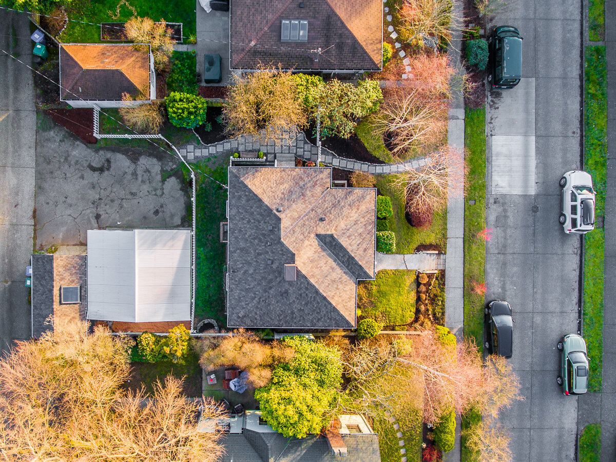
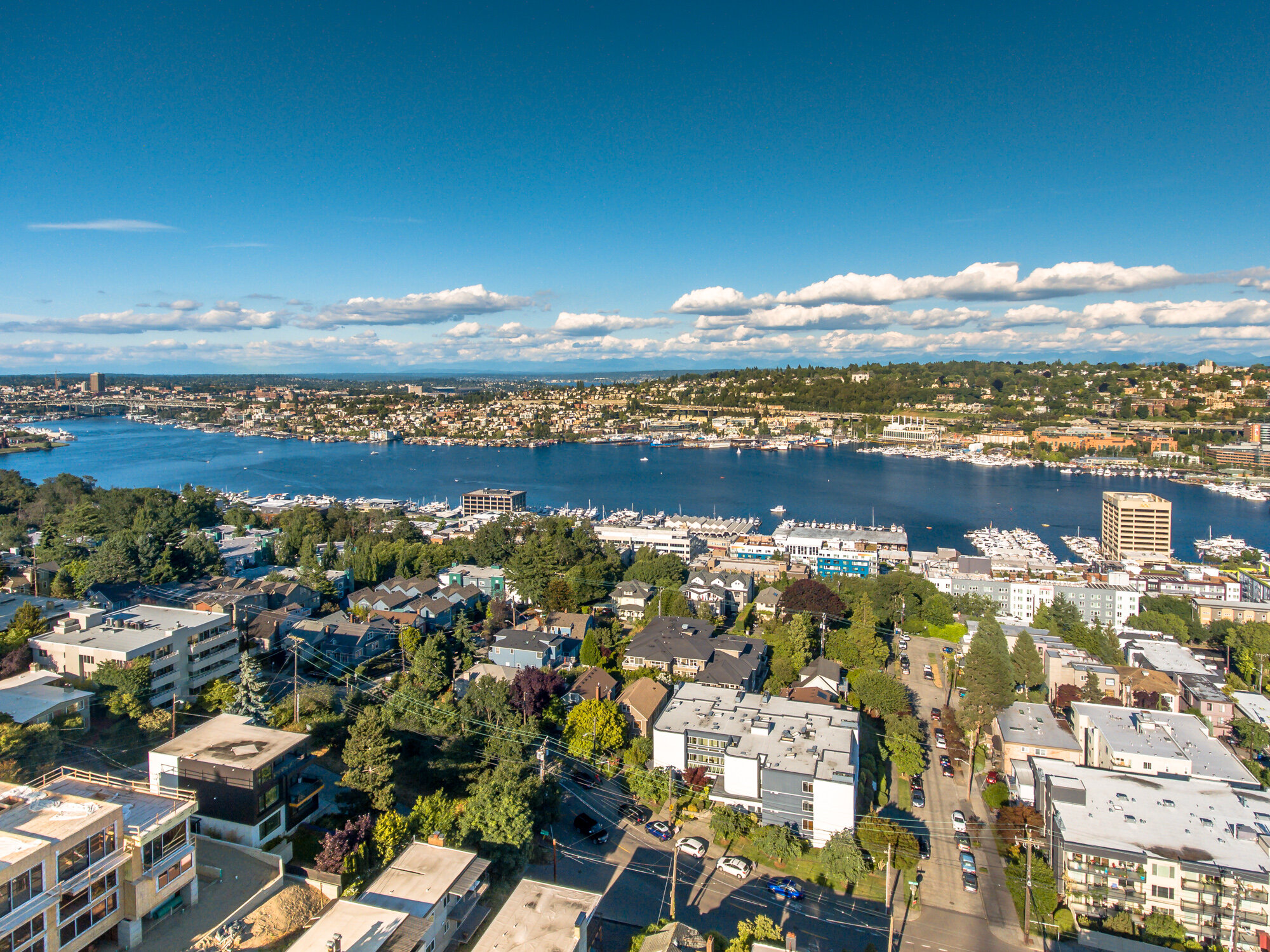
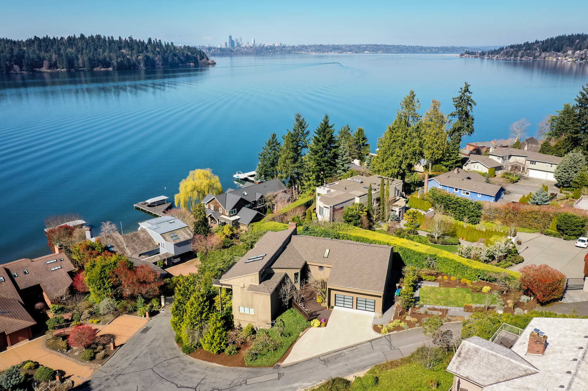
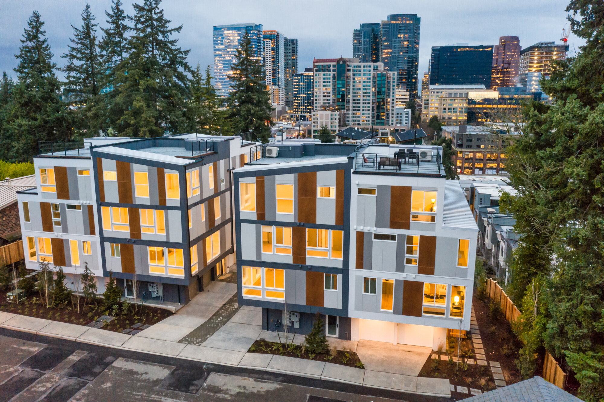
neighborhood feature
Is your property situated in a scenic neighborhood? Positioned in close proximity to a park or landmark? Have a spectacular water or mountain view? Aerial photographs help your property description come alive by showing prospective buyers what makes this area special. PorchLight can place your property front and center at the best angle or photograph from directly above in any direction to capture the most compelling composition.

About the pilot
PorchLight owner & photographer, Jennifer Clark, is an FAA-certified part 107 sUAS commercial pilot. Each flight is insured and conducted with the utmost safety and precision. Many factors are considered in preparation for a drone flight including weather, other air traffic, local avian wildlife, as well as both natural and infrastructure hazards such as tall trees or power lines. Prior to flight time, sectional charts for the region are consulted to ensure drone flight is permitted and any required approval/waivers are completed.